
Eye in the Sky: How a Satellite is Saving Haryana ₹300 Crore Every Year
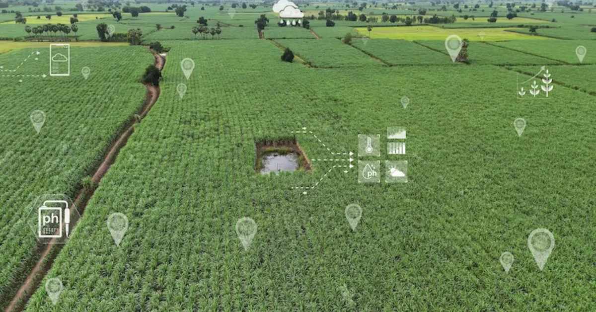
Imagine a satellite orbiting hundreds of kilometers above the Earth, quietly scanning a lush green wheat field in Haryana. Before a single leaf wilts or a farmer even notices an issue, this "eye in the sky" detects that the crop is suffering from water stress.
It sounds like science fiction, but it is a massive, real-world triumph happening right now.
Haryana’s pioneering space agency—the Haryana Space Applications Centre (HARSAC)—has built a geo-enabled tech ecosystem that actively tracks over 1.75 crore agricultural plots. By changing how the state handles everything from water shortages to crop insurance, this space-to-citizen network is saving the state government an estimated ₹300 to ₹400 crore every single year.
The impact is so profound that the system won the prestigious Geospatial Excellence Award at the Geospatial World Forum in Amsterdam.
The Tech Behind the Transformation
So, how does a satellite pinpoint a problem on a tiny, remote farm plot? The secret lies in a concept called Precision Remote Sensing.
Working hand-in-hand with ISRO and the National Remote Sensing Centre, HARSAC doesn't just take normal photographs. It scans fields using specialized optical wavelengths to measure plant health.
-
NDVI (Normalized Difference Vegetation Index): This index tracks plant vigor by analyzing how much near-infrared light leaves reflect. Robust, thriving crops bounce back plenty of light, while struggling ones don’t.
-
Land Surface Water Indices: This allows the system to detect exact moisture levels in the soil. It flags moisture deficiencies or waterlogging weeks before visible symptoms break out on the surface.
Instead of deploying a one-size-fits-all strategy across the state, agricultural officials use this real-time data to issue highly targeted, hyper-local farming advisories.
Where the ₹300 Crore Savings Come From
When you scale this across 15 lakh farmers and over a crore of active fields, the financial and logistical waste cut by the system is staggering. The annual savings accumulate across three primary pillars:
1. Bulletproof Yield Estimation & Procurement Planning
Traditionally, guessing crop yields involved manual calculations and visual estimates, leading to massive inefficiencies. If the state over-prepares or under-prepares for harvesting, massive supply-chain losses occur at local mandis (markets). Satellites accurately predict total state yields weeks in advance, optimizing procurement logistics down to the rupee.
2. Eliminating Fraud in Crop Insurance
Crop damage insurance claims used to take months of physical verification by village-level surveyors, frequently marred by disputes and ghost claims. Today, insurance companies and revenue officials use immutable satellite data to instantly verify exactly when, where, and how much damage occurred from hailstorms or droughts.
3. Precision Subsidies and Resource Mapping
Haryana has integrated this satellite data directly into its massive AgriStack program, creating digital registries for almost every farmer. This prevents duplication of benefits and ensures that power, fertilizer, and water subsidies are only channeled where they are legitimately required.
Scaling Up: What’s Next for Digital Agriculture?
The brilliance of Haryana’s system is that it bridges the gap between complex space hardware and the everyday farmer. Alongside satellite feeds, the system coordinates daily with more than 4,000 ground users, including patwaris (village-level accountants), agricultural planners, and surveyors using mobile apps and artificial intelligence.
As groundwater tables fall and climate shifts trigger unpredictable weather patterns across India, Haryana’s model offers a clear blueprint. It proves that space technology shouldn't just be reserved for cosmic exploration—it is one of the most grounded, essential tools we have to secure food safety and back the farmers who feed the nation.
.jpg)
.jpg)