
.jpg)
Agricultural drones have officially transitioned from futuristic novelties to essential farm equipment. Across India, drones are widely celebrated for blanket-spraying fields, saving manual labor, and keeping farmers safe from direct chemical exposure. While this first wave of automation is impressive, it still suffers from an efficiency flaw: uniform spraying across an entire field still wastes expensive inputs on healthy crops.
The Telangana Department of Agriculture is leading a massive evolution. Moving beyond generic, field-wide drone operations, the state has launched an advanced precision pilot project in partnership with agritech innovator Agriva. By fusing space-borne intelligence with low-altitude drone execution, Telangana is showing the world how macro-data can drive microscopic accuracy on the farm.
The Problem with Blanket Spraying
When a pest outbreak or fungal disease hits a farm, it rarely blankets an entire field uniformly. It typically begins in localized clusters or "hotspots." However, because traditional scouting relies on manual human inspection, these micro-pockets are tough to spot until the damage has visibly spread. As a result, farmers resort to spraying their entire acreage out of caution.
This blanket approach comes with severe downsides:
-
Escalating Input Costs: It burns through expensive chemical fertilizers and pesticides unnecessarily.
-
Environmental Strain: Over-fertilization alters natural soil biology, accelerates chemical runoff into local water tables, and risks rendering fertile agricultural land completely unproductive.
Space Meets Sky: How Satellite-Assisted Hyper-Targeting Works
The Agriva pilot project completely flips this dynamic by establishing a multi-layered digital surveillance system over the crop canopy.
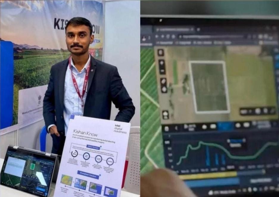
First, the system leverages high-resolution, real-time satellite imagery to run advanced remote sensing analysis across targeted mandals. By analyzing specialized spectral signatures and subtle changes in plant biochemistry, these satellites flag exact coordinates showing initial biotic or abiotic crop stress. They create a highly precise, digital prescription map before a drone ever leaves the ground.
Once the anomaly coordinates are locked in, specialized automated agricultural drones are deployed to the field. Guided directly by the satellite-generated maps, the drone executes a hyper-targeted flight path.
95% Target Accuracy: Instead of misting the entire field, the drone activates its precision nozzle arrays only when hovering directly over the flagged, disease-affected pockets.
Protecting Soil Health and Smallholder Walleys
By restricting chemical deployment strictly to isolated zones of infection, this satellite-to-drone ecosystem offers profound ecological and financial benefits. Healthy crops remain untouched by excess chemicals, dramatically reducing overall pesticide usage per acre. This direct reduction in input chemical volume inherently safeguards vital soil macro-nutrients and maintains microbial biodiversity.
For the smallholder-dominated landscape of Telangana, this means lower cultivation costs and significantly healthier yields. This collaborative framework between the state and Agriva demonstrates that the future of smart agriculture isn't about applying more resources—it's about deploying them exactly where they are needed most.
.jpg)
.jpg)