
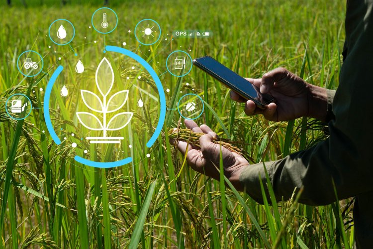
Coding the Cosmos of Cultivation: Inside India’s Digital Agriculture Mission
The traditional image of farming is undergoing a complete structural upgrade. Moving away from manual guesswork and slow physical verification, India has launched the Digital Agriculture Mission (DAM). Approved as an umbrella framework with a massive total budget outlay of ₹2,817 crore, this mission is actively building a high-tech Digital Public Infrastructure (DPI) for the country’s agricultural sector.
The core goal is simple: eliminate tedious paperwork, map fragmented fields from space, and bring data directly into the palms of millions of smallholders.
1. AgriStack: Creating the 'Kisan ki Pehchaan'
At the very center of this mission is AgriStack, a unified digital identity framework designed to do for farmers what Aadhaar did for public identity. Instead of forcing families to constantly carry bundles of land deeds and verification documents, the database establishes a single source of truth.
-
The Digital Farmer ID: The mission aims to generate unique, verifiable digital IDs for 11 crore farmers (with tens of millions already live). This ID serves as a direct access pass to banking, subsidies, and government schemes.
-
The Three Pillars: AgriStack operates by dynamically linking three foundational registries:
-
The Farmers’ Registry: Securely maps the farmer's verified identity and demographic details.
-
Geo-Referenced Village Maps: Digitally plots precise physical land boundaries, connecting farmers straight to their exact coordinates.
-
The Crop Sown Registry: A real-time record of what is actively being grown on each parcel of land, verified through nationwide Digital Crop Surveys.
-
2. The Krishi Decision Support System (DSS)
Farming has always been at the mercy of unpredictable weather and soil anomalies. The Krishi Decision Support System resolves this by building a comprehensive geospatial framework that unifies multiple complex streams of remote sensing data.
-
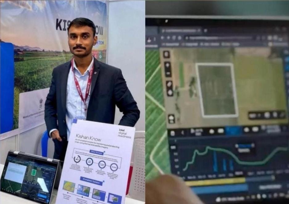
Aggregated Analytics: By pulling together high-resolution satellite imagery, local weather APIs, soil properties, and hydrological data, the system creates a predictive model for nationwide fields.
-
Proactive Interventions: Instead of reacting to an agricultural crisis after it happens, regional authorities can utilize the unified system to track changing crop patterns, monitor regional water stress, and issue localized drought warnings long before the land dries out.
3. Soil Profile Mapping on a Micro Scale
You cannot manage what you do not understand. To take the guesswork out of field nutrition, the Digital Agriculture Mission is executing an unprecedented Soil Profile Mapping initiative on a meticulous 1:10,000 scale.
-
Massive Geographic Scope: The mission is aggressively working toward mapping 142 million hectares of the country's collective agricultural land, building a granular profile of deep soil architecture.
-
Targeted Inputs: Rather than blindly dumping generic bags of urea or fertilizers on an entire district, these precise maps show farmers exactly what micro-nutrients their local soil holds, saving input costs and protecting delicate soil biology.
4. Digital General Crop Estimation Survey (DGCES)
Predicting nationwide food production and grain yields has historically relied on fragmented estimates. The rollout of the DGCES completely rewrites this process using structured data science.
-
Scientific Sampling: The platform automates and audits crop-cutting experiments, recording raw yield observations directly through verified digital interfaces.
-
Market Stabilization: Having access to precise, scientific estimates of overall national food yields months before harvest gives policymakers the data they need to manage minimum support prices (MSP), regulate export rules, and secure national food reserves with absolute confidence.
.jpg)
.jpg)